 BeelanceShop
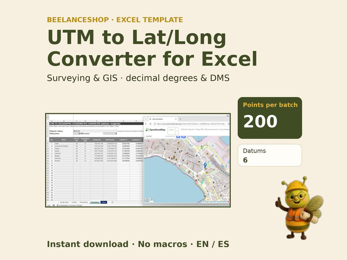
Coordenadas UTM a geográficas, sin software GISUTM to geographic coordinates, no GIS software needed
Para pasar un listado de puntos de campo a latitud y longitud no hace falta abrir un GIS. Pegas zona, hemisferio, este y norte, eliges el elipsoide y la plantilla devuelve las coordenadas geográficas, valida cada fila y te deja ver los puntos en un mapa.Turning a list of field points into latitude and longitude doesn’t need a GIS. Paste zone, hemisphere, easting and northing, choose the ellipsoid and the template returns geographic coordinates, validates each row and lets you see the points on a map.
1 · El conversor1 · The converter
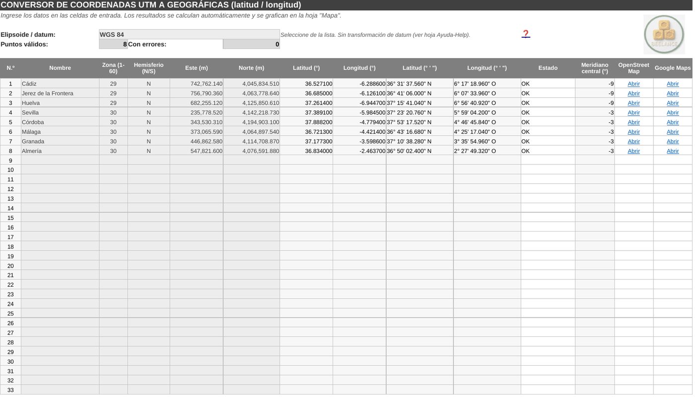
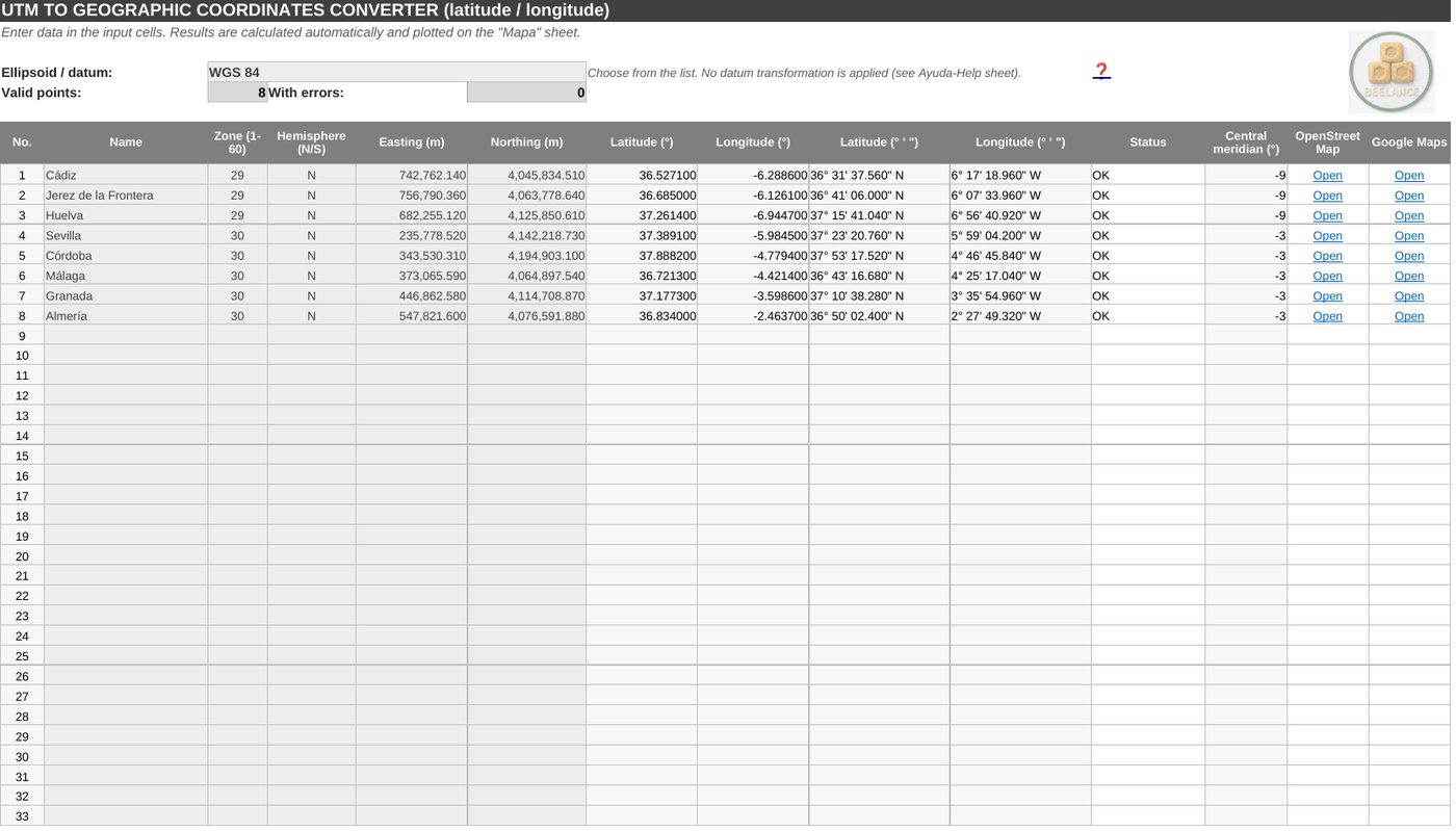
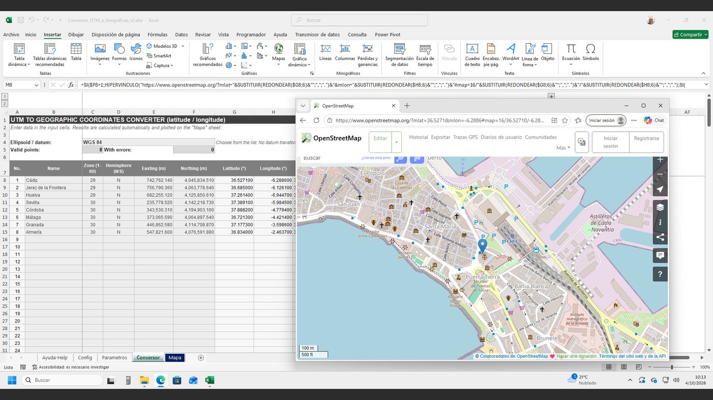
Por cada punto: nombre, zona (1 a 60), hemisferio, este y norte. Resultado en grados decimales y en formato DMS, meridiano central, estado de la fila y enlaces directos a OpenStreetMap y Google Maps.For each point: name, zone (1 to 60), hemisphere, easting and northing. Output in decimal degrees and DMS, central meridian, row status and direct links to OpenStreetMap and Google Maps.
2 · Mira tus puntos en el mapa2 · See your points on a map
La hoja Mapa dibuja los puntos válidos y, desde cada fila, abres el punto exacto en el navegador para comprobar que cae donde debe.The Map sheet plots valid points and, from each row, you open the exact point in your browser to check it lands where it should.
3 · Método y límites, explicados3 · Method and limits, explained
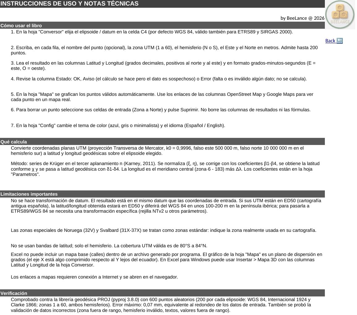
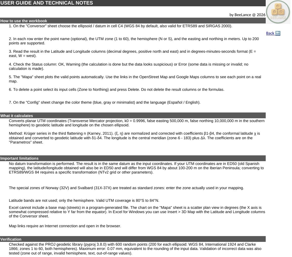
La hoja de ayuda explica el uso paso a paso, el método (series de Krüger de sexto orden, Karney 2011), las limitaciones (no transforma datum; zonas especiales de Noruega y Svalbard) y la verificación realizada.The help sheet explains step-by-step use, the method (sixth-order Krüger series, Karney 2011), the limits (no datum transformation; special Norway and Svalbard zones) and the verification performed.
4 · Tema e idioma4 · Theme and language
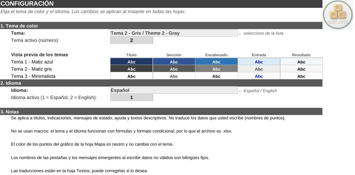
Tres temas de color y cambio de idioma al instante. Todo funciona con fórmulas y formato condicional, sin macros.Three colour themes and instant language switch. Everything runs on formulas and conditional formatting, no macros.
Míralo en acción en TikTokSee it in action on TikTok
Vídeos cortos con cada plantilla paso a paso, trucos de Excel y nuevos lanzamientos en @beelanceshop.Short videos walking through each template, Excel tips and new releases at @beelanceshop.
Cómo se usaHow to use it
- Elige el elipsoide o datum en el conversor.Choose the ellipsoid or datum in the converter.
- Escribe o pega zona, hemisferio, este y norte.Type or paste zone, hemisphere, easting and northing.
- Revisa el estado de cada fila.Check each row’s status.
- Copia los resultados o abre los puntos en el mapa.Copy the results or open the points on a map.
Qué incluye y requisitosWhat’s included and requirements
- Libro .xlsx con conversor, mapa, configuración y ayuda, en español e inglés..xlsx workbook with converter, map, settings and help, in English and Spanish.
- Lotes de hasta 200 puntos; cobertura UTM de 80° S a 84° N.Batches of up to 200 points; UTM coverage from 80° S to 84° N.
- Convierte dentro del mismo datum; no aplica transformaciones entre datums.Converts within the same datum; no datum-to-datum transformation.
- Sin macros. Funciona en Excel y en Google Sheets.No macros. Works in Excel and Google Sheets.
- Descarga inmediata y soporte por correo en 24 h.Instant download and email support within 24 h.
Preguntas frecuentesQuestions
¿Convierte de ED50 a ETRS89?Does it convert ED50 to ETRS89?
No: convierte UTM a geográficas en el mismo datum. Para cambiar de datum hace falta una transformación con rejilla (por ejemplo NTv2).No: it converts UTM to geographic within the same datum. Changing datum needs a grid-based transformation (for example NTv2).
¿Y la conversión inversa, de latitud/longitud a UTM?What about the reverse, lat/long to UTM?
Esta versión convierte de UTM a geográficas. Si necesitas el sentido inverso o integrarlo en tu flujo de trabajo, lo hacemos a medida.This version converts UTM to geographic. If you need the reverse or want it built into your workflow, we can do it as a custom job.
¿Qué precisión tiene?How accurate is it?
Se comparó con la librería PROJ en 600 puntos aleatorios de tres elipsoides: error máximo de 0,07 mm.It was compared with the PROJ library on 600 random points over three ellipsoids: maximum error 0.07 mm.

De la libreta de campo al mapa en un minutoFrom field book to map in a minute
Pago seguro con Stripe y descarga inmediata. Los impuestos de tu país se calculan al pagar.Secure checkout with Stripe and instant download. Taxes for your country are calculated at checkout.
¿Se te queda corta una plantilla? Lo hacemos robusto, a medidaOutgrown a template? We build it robust, to measure
¿Necesitas una app de campo con GPS para Android o tablet, o integración con tu GIS?Need a GPS field app for Android or tablet, or integration with your GIS? Desarrollamos software para tus procesos: apps de escritorio, apps de campo y paneles conectados a tus datos.We build software for your processes: desktop apps, field apps and dashboards connected to your data.
Otras plantillasMore templates
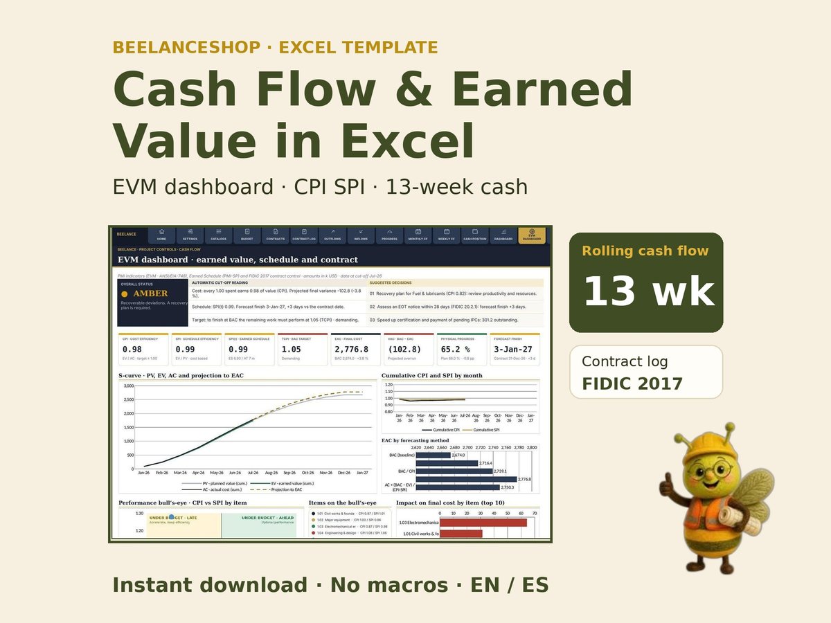 Flujo de Caja y Valor GanadoCash Flow & Earned Value
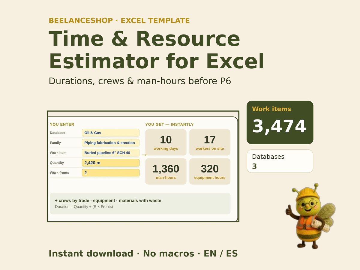 Estimador de Tiempos y Recursos de ObraConstruction Time & Resource Estimator
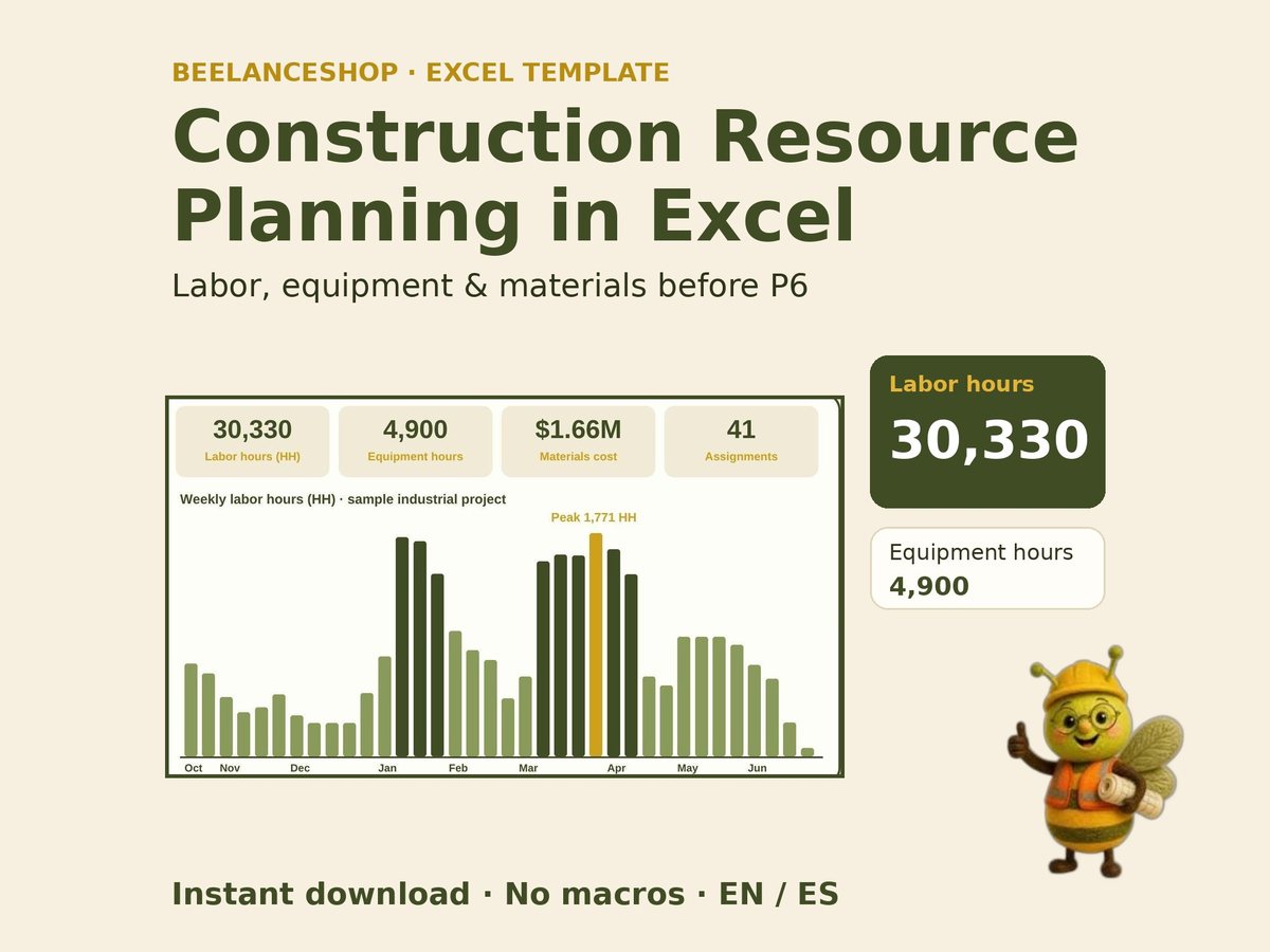 Planificación de Recursos de ObraConstruction Resource Planning
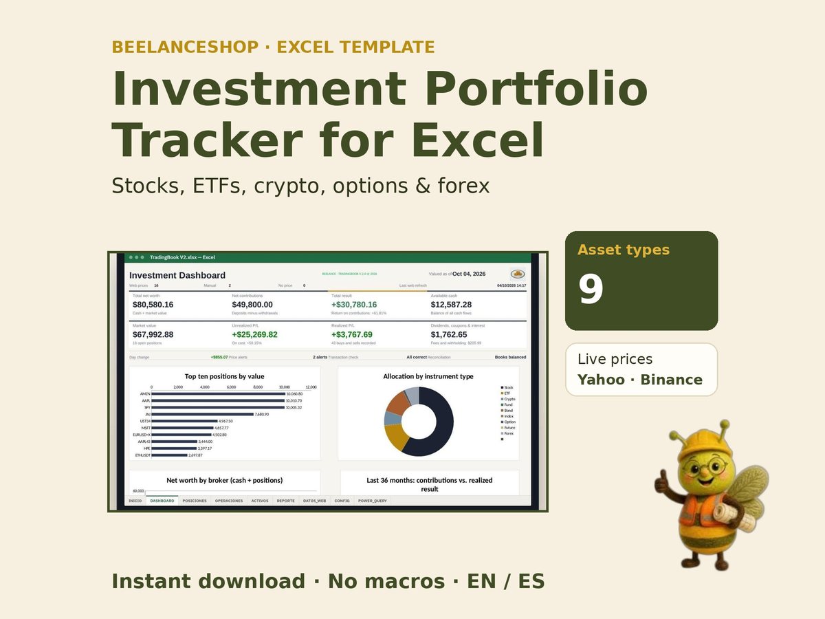 Seguimiento de Cartera de InversionesInvestment Portfolio Tracker
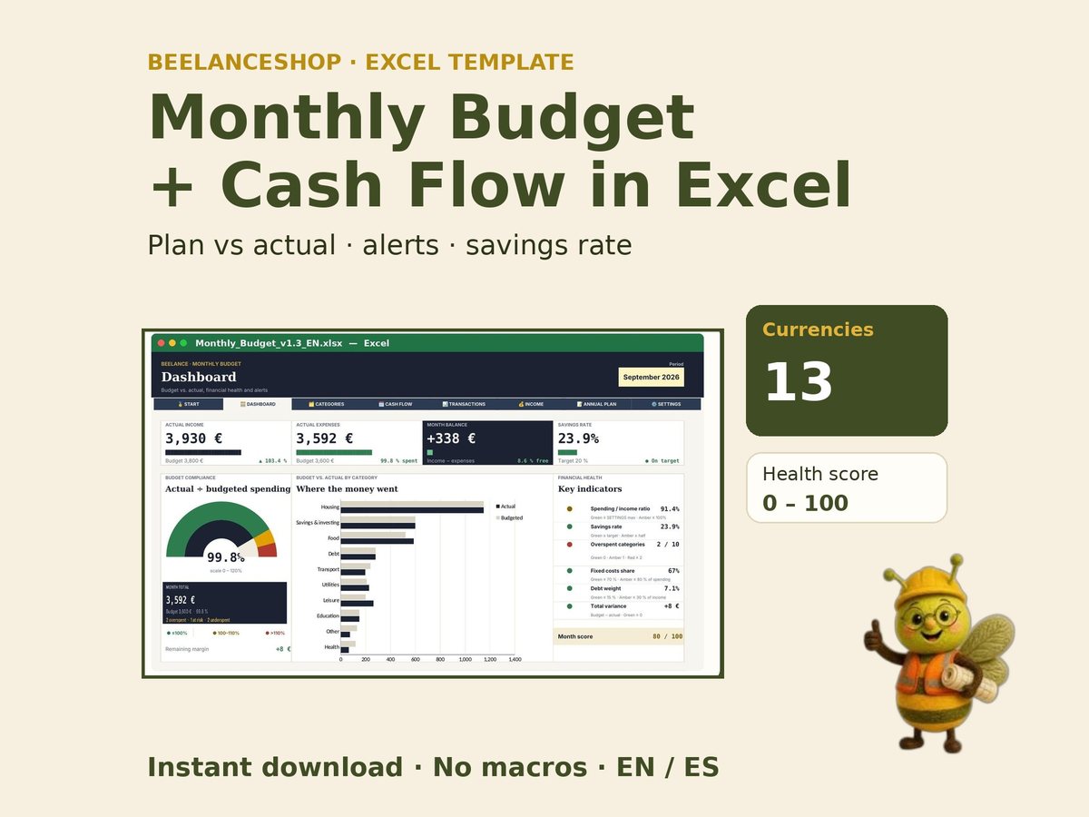 Presupuesto MensualMonthly Budget Planner
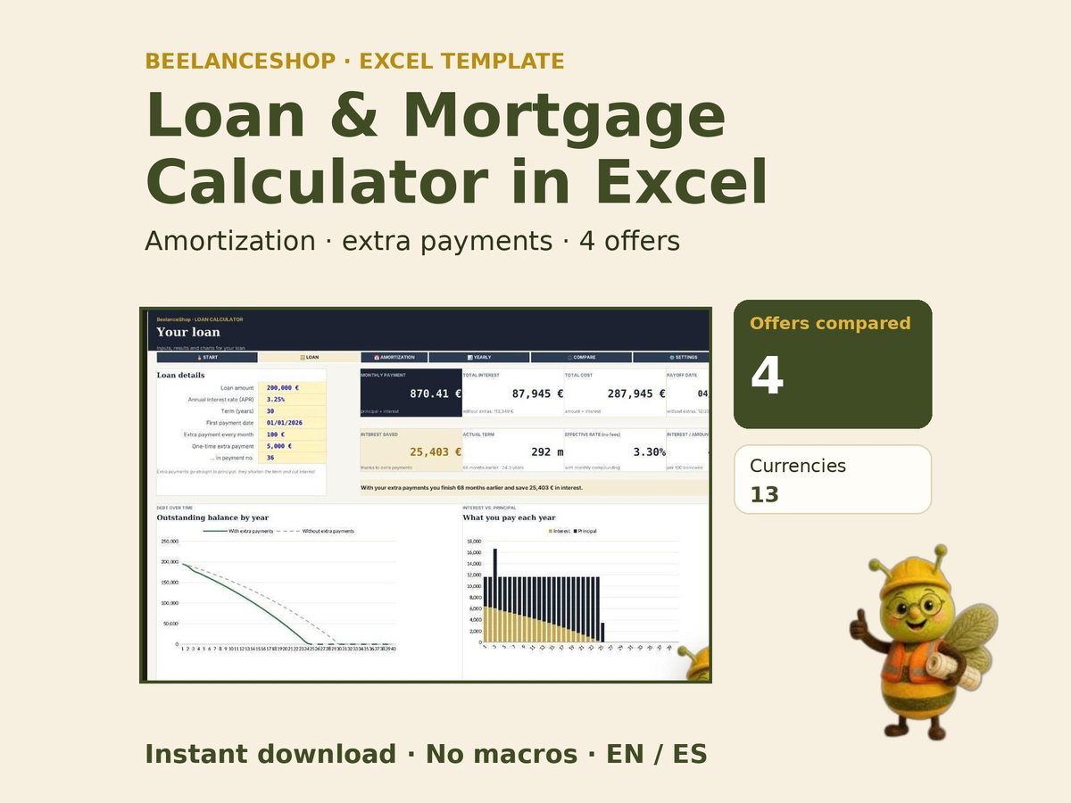 Calculadora de Préstamos e HipotecasLoan & Mortgage Calculator